Welcome to ALCT Group Co.,Ltd.
National service hotline: mike.lin@tiandunhk.com +86 18501355858
Welcome to ALCT Group Co.,Ltd.
National service hotline: mike.lin@tiandunhk.com +86 18501355858
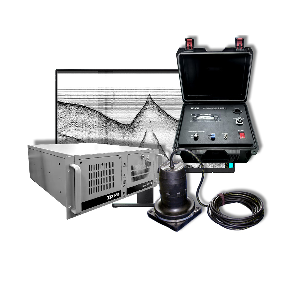
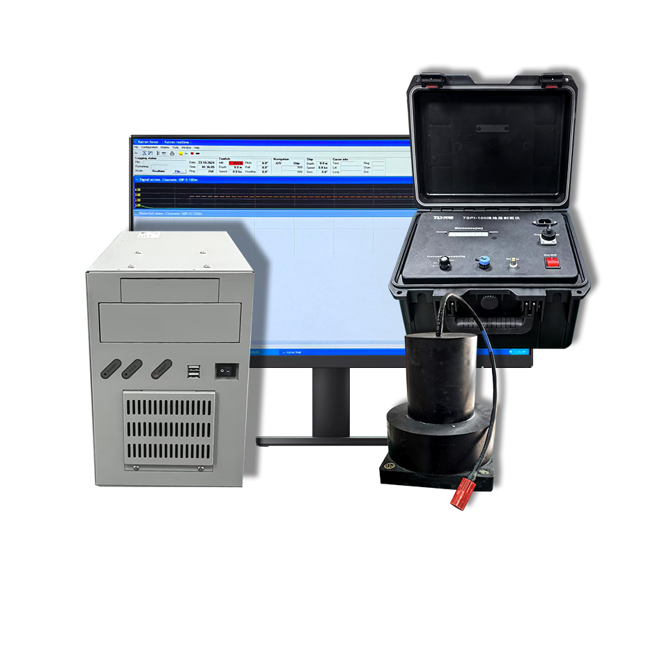
PTD-CHIRP SBP-Vessel-mounted and Shallow-water Towed Version
A new generation of shallow formation profiler independently developed by Tiandunbj Technology Co., Ltd.
Product details
Product introduction
PTD-CHIRP is a sub-bottom profiler independently developed by Tiandunbj Technology Co., Ltd. It is designed for various deployment configurations—including side-mounting, hull-mounting, or shallow-water towing—and is used for both water depth measurement and sub-bottom profiling. As the vessel travels or the system is towed, it acquires profile data, providing essential information for identifying sub-bottom stratigraphic interfaces, analyzing the structure of sedimentary layers, and conducting geological surveys in aquatic environments.
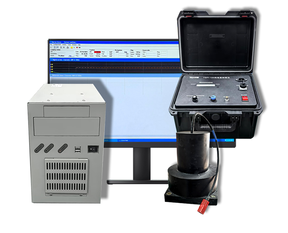
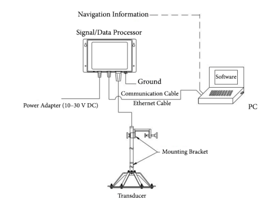
The system consists of a signal/data processor, one or more transducers, and a PC. The transducer(s) can be mounted on the vessel structure or on a shallow-water towed vehicle for shallow-water operations, while the signal/data processor and PC—located on board—handle data processing and system control. The system supports both automatic and manual measurement modes, with a maximum water depth capacity of 500 m, a maximum sub-bottom penetration depth of 50 m, and a stratigraphic resolution of up to 15 cm.
Product features
(1) Supports both side-mount and hull-mount configurations. The transducer(s) can be installed on a side-mount bracket or mounted to the hull bottom; the configuration can be selected based on vessel type, available installation space, and operational requirements, enabling sub-bottom profiling surveys while the vessel is underway.
(2) Suitable for shallow-water towed systems. The transducer(s) can be integrated into a shallow-water towed vehicle, allowing for surveys along designated survey lines and providing an alternative deployment option to hull mounting for shallow-water investigations.
(3) Balances sub-bottom penetration with high-resolution detail. It can reach a maximum sub-bottom penetration depth of 50 m with a resolution of up to 15 cm, providing essential data for interpreting shallow sub-bottom structures.
(4) Offers flexible survey and data application. Supports both automatic and manual survey modes, manual input of sound velocity parameters, and data storage and playback. Includes built-in GPS input and is compatible with NMEA, Hypack, and SonarWiz software.
Technical specification
(1) Stratigraphic resolution: 15 cm
(2) Bottom penetration depth: 50 m
(3) Depth resolution: 0.01 m
(4) Depth accuracy: 0.5% FS
(5) Beam width: 30°
(6) Operating frequency: 3.5 kHz
(7) Pulse type: Continuous Wave (CW)
(8) Input power: 220 VAC ± 10%, 50 Hz ± 1 Hz
(9) Communication interface: RS-232
Device Connection Diagram
Related products



