Welcome to ALCT Group Co.,Ltd.
National service hotline: mike.lin@tiandunhk.com +86 18501355858
Welcome to ALCT Group Co.,Ltd.
National service hotline: mike.lin@tiandunhk.com +86 18501355858
PTD-CHIRP2 SBP-ROV and Deep-Sea Towed Platform Version
PTD-CHIRP2 is a sub-bottom profiler independently developed by TIANDUNBJ TECHNOLOGY CO., LTD.
Product details
Product introduction
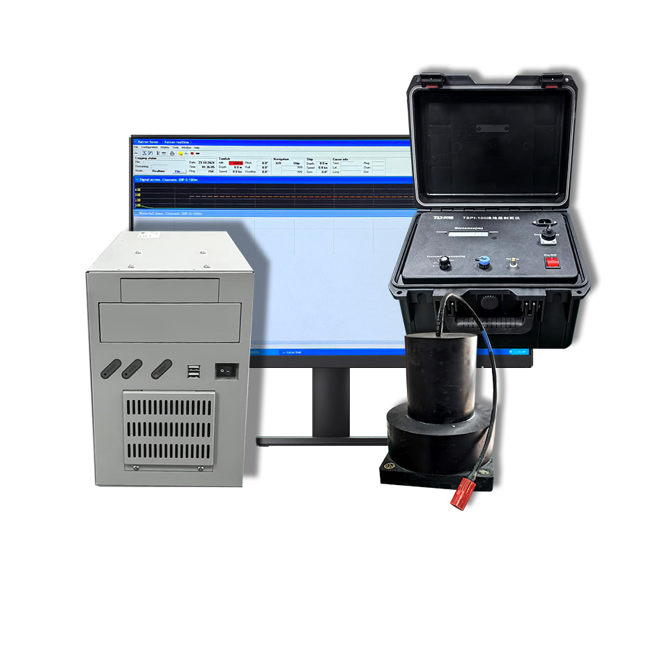
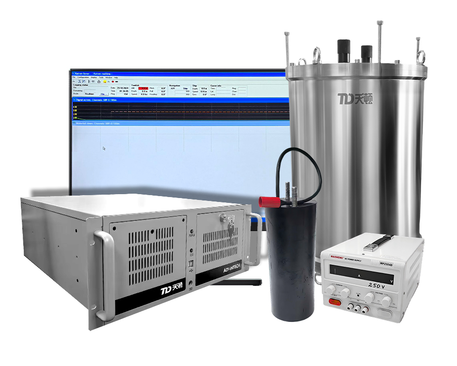
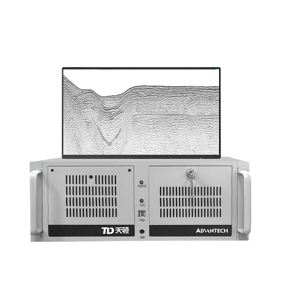
PTD-CHIRP2 is a sub-bottom profiler independently developed by TIANDUNBJ TECHNOLOGY CO., LTD. It can be integrated onto underwater platforms such as ROVs or deep-sea towed systems to perform water depth measurements and sub-bottom profiling. The device is deployed on an underwater platform to carry out sub-bottom surveys, providing profile data for the identification of seabed stratigraphic interfaces, the analysis of sedimentary layer structures, and marine geophysical research.
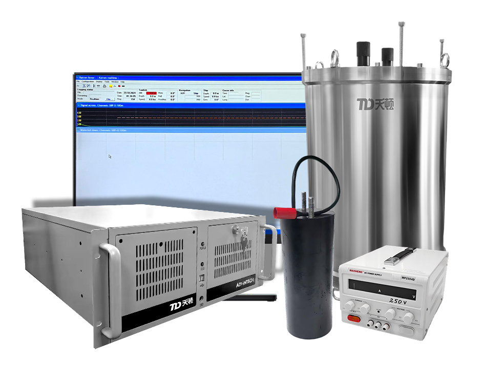
The system consists of a signal/data processor, a transducer, and a PC, and can be integrated in combination with the instrument compartment and installation space of a host platform. It supports both automatic and manual measurement modes, with a maximum water depth capacity of 500 m, a maximum sub-bottom penetration depth of 50 m, and a stratigraphic resolution of up to 15 cm.
2. Product features
(1) Designed for deployment on underwater platforms. It serves as an acoustic sensing payload for ROVs and deep-sea towed systems, enabling sub-bottom profiling to be incorporated into platform survey missions and allowing survey operations to be aligned with the platform's survey track.
(2) Easy to integrate with the host platform. The signal/data processor can be housed within the instrument compartment, while the transducer(s) can be mounted onto the platform's structure—facilitating a coordinated layout of the sensing equipment alongside other payloads.
(3) Balances sub-bottom penetration with high-resolution detail. It can reach a maximum sub-bottom penetration depth of 50 m with a resolution of up to 15 cm, providing essential data for interpreting shallow sub-bottom structures.
(4) Offers flexible survey and data application. Supports both automatic and manual survey modes, manual input of sound velocity parameters, and data storage and playback. Includes built-in GPS input and is compatible with NMEA, Hypack, and SonarWiz software.
Technical specification
Technical specifications
(1) Stratigraphic resolution: 15 cm
(2) Bottom penetration depth: 50 m
(3) Depth resolution: 0.01 m
(4) Depth accuracy: 0.5% FS
(5) Beam width: 30°
(6) Operating frequency: 3.5 kHz
(7) Pulse type: Continuous Wave (CW)
(8) Input power: 220 VAC ± 10%, 50 Hz ± 1 Hz
(9) Communication interface: RS-232
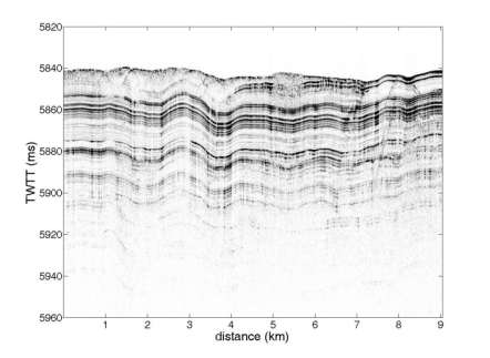
4. Presentation of Test Results
Related products